44-46 Barkly Street
St Kilda,Victoria
Australia 3182
St Kilda,Victoria
Australia 3182
1855 (prior to) Crown Allotments Maps -Ownership of A Gill - https://stkildahistory.org.au/our-collection/resources/m27
1855 Kearney Map 4 shows Some small developments on the blocks on the south east corner of Barkly Street and Alma Road https://stkildahistory.org.au/our-collection/resources/kearney-1
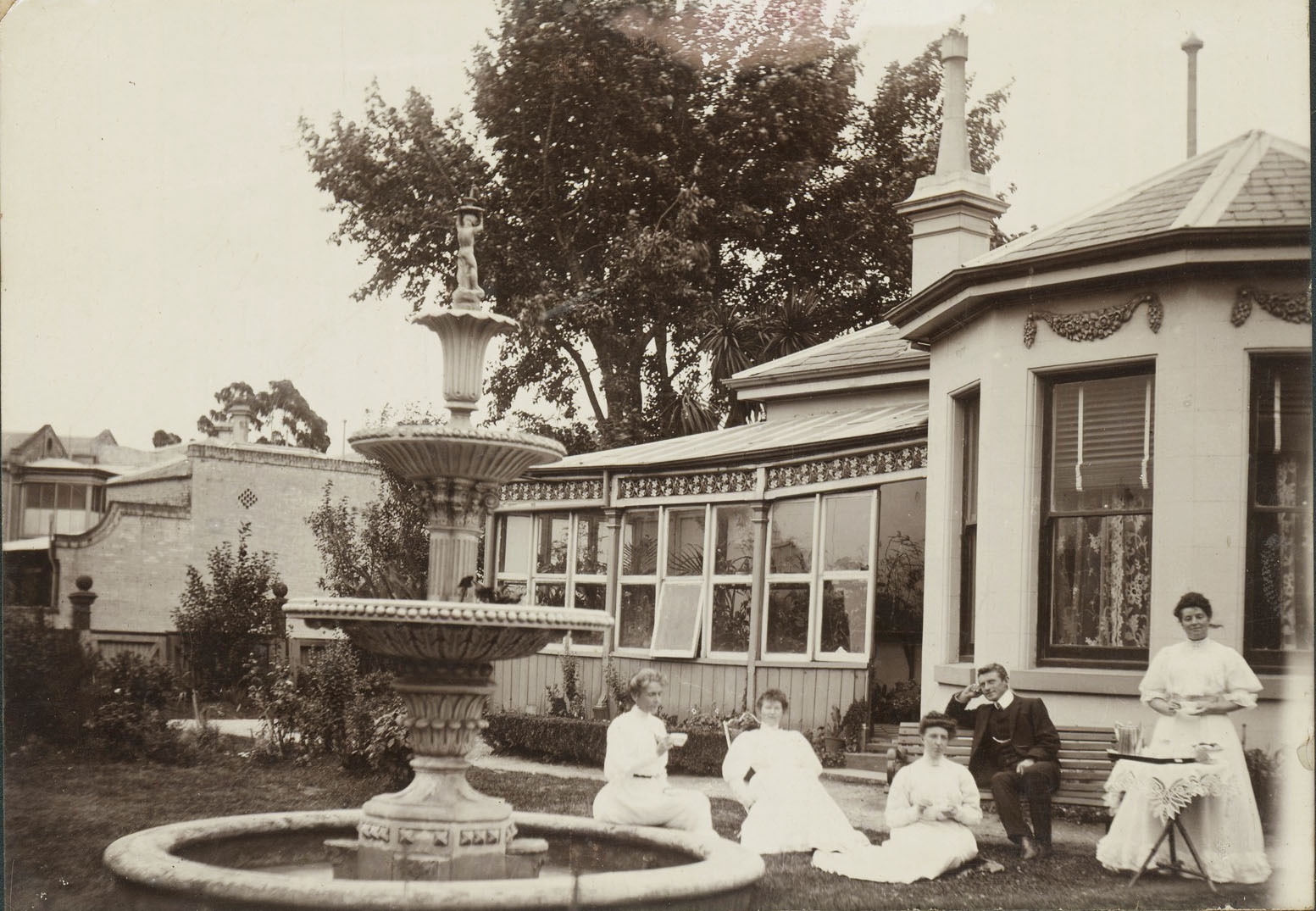
1873 J Vardy No5 NW Allotment 20 owned by J Pfund. House located centrally with front verandah Rear abuttment to Congregational Church property...https://stkildahistory.org.au/our-collection/resources/vardy-plans
1697 MMBW map 1363 House with imilar features plus additions now located to the RHS of block with southern side garden as per images from 1905. Boundary adjustment with house to the north? http://handle.slv.vic.gov.au/10381/122374
To come
To come
Probably James Pfund.